Tracy's Colorado Hiking and 14'er Site

Home

Mt. Massive 14,421' | Torreys Peak 14,267' | Grays Peak 14,270' | Mt. Bierstadt - 14,060' | Pikes Peak -14,110' | Mt. Democrat, 14,118' | Mt. Cameron, Mt. Lincoln and Mt. Bross | Mt. Quandary - 14,265' | Mt. Yale, 14,196' | Mt. Evans 14,264' | Crestone Needle, 14,197' | LaPlata Peak, 14,336
Pikes Peak -14,110'

Date Climbed: 7/7/01
Route: Crags Campground
Estimated Miles: 11.4 round trip
Elevation Gain: 4100'
My Rating and Difficulty Level: Easy. The incline just past treeline is steep and tiresome but don't give up. Another good one for first timers.

img09pike.jpg

This trailhead is at 10,100 feet and provides access to Pikes' northwest side. Take Exit 141 off Interstate 25 and go west on U.S. 24 for 18.4 miles to the junction of Colorado 67 and U.S. 24 in Woodland Park. Continue west on the combined Colorado 67 and U.S. 24 for an additional 6.8 miles to the next junction of Colorado 67 and U.S. 24 in the small community of Divide. Leave U.S. 24, turn south (left) onto Colorado 67 and go 4.3 miles to Teller County 62 (dirt). This poorly marked junction has two small signs, one for the Rocky Mountain Camp and the other for the Crags Campground. Turn east (left) onto Teller County 62 and go 1.6 miles to the Rocky Mountain Camp. Turn south (right) onto the main road and continue for an additional 1.6 miles to the entrance to the Crags Campground. Turn east (left) into the campground and go 0.3 mile to the well-marked trailhead on the campground's east side.

img09pike.jpg

The gargantuan mountain topping off at an awe inspiring 14,110' was first sighted in the Fall of 1806 by Zebulon Pike, for whom Pikes Peak was named. The "Great Peak" he once declared as unclimbable. Proving him wrong were many ambitious climbers such as Edwin James, the first to ascend in 1820, Julia Holmes, the first woman to ascend in 1858, and Hikechick, by far the most excited to ascend ever, made her proud ascents in the summer of 2000 and 2001.

img09pike.jpg

After a 2 ½ hour drive from Littleton, we finally arrived at the Crags Campground Trailhead, eager to conquer the Peak. The hike begins at approximately 10,100' and provides access to Pikes northwest slopes. The initial ascent takes you through the heavily forested Pike National Forest. The climb through the trees is gentle and definitely holds no indication for what lies ahead. The trail is well traveled, well marked and easily defined. Your forested hike gains strength at approximately 11,200' and continues until you reach the tundra at approximately 11,800'.

As you leave the trees behind and make your way through the tundra, the stress of the climb begins to set in. In my opinion, the ascent from 11,800' to the 12,730' saddle is steep and taxing. Reasonably so, you are gaining almost 1,000' elevation in a relatively short distance. This section of the route always gets to me. My lungs struggle, my legs feel heavier with each step and my mind is saying, "What the hell are you thinking?" In spite, that drive that pushes me forward through everything, kicks in. Weakness is no excuse for missing the opportunity to summit (in mountaineering or in life). I push on. After approximately ½ hour of feeling rather poor, my body manages to refresh. I find a rhythm and stick with it. Once I reach that point, there's no stopping me.


tundra1.jpg

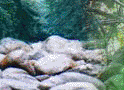
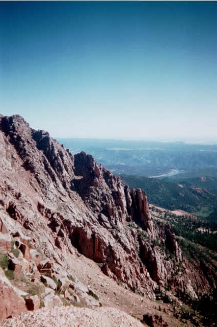
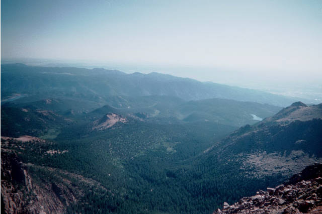
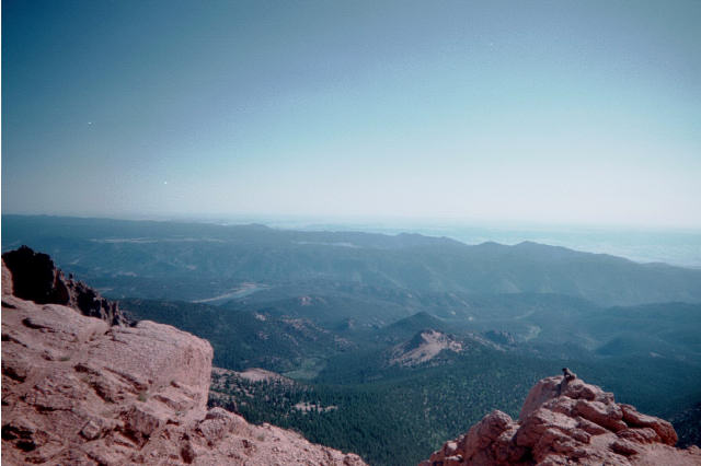
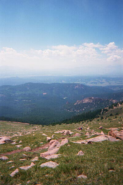
The ascent from the Devils Playground Trailhead at 13,070' to the talus slope located at 13,400' is a relief and gives you the chance to see some interesting features that Pikes Peak has to offer. Among those features are the most vibrantly colored wildflowers that I have ever seen in my life. Wide ranges of blue, violet, yellow and pink are everywhere. Amongst the flowers were many curious juvenile and adult marmots scurrying about. On several instances, I was able to get within 5' of the critters. They didn't appear to be fazed by my presence. Enjoy the panoramic views in every direction. You don't need to reach the summit to catch an awe-inspiring view up here.

img09pike.jpg

The talus slope is your final approach to the summit and yes this is my favorite part. Climb your way up and over the boulders. Dont let the false peaks discourage you. The summit is within reach and before you know it, signs of a bustling tourist attraction in the clouds is in full view. If the views, marmots, wildflowers, physical and mental benefits are not enough motivation to drag you to the top, how about this. . . there's food up there. Burgers, fries, hot dogs, fudge and grease galore! So eat until your hearts content and sit back and relish in the fact that you just climbed to a higher elevation than the average man will ever venture to without the use of an aircraft!

img09pike.jpg

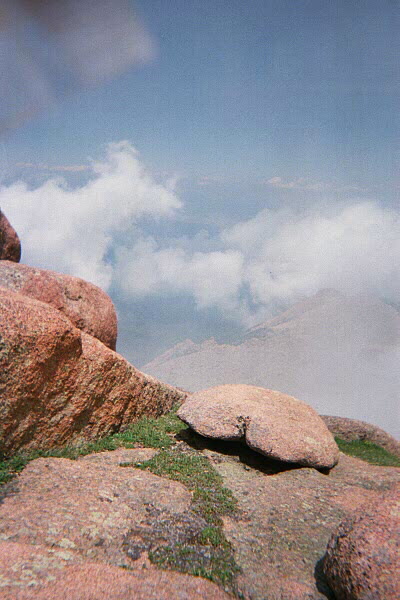
Now here's the tricky part. Getting back down. You descend the route in which you ascended but be careful. Just because you no longer have to struggle with the climb and in theory, going down should be easier than going up due to the decreased energy expended, don't be fooled. Those slopes are steep and slick. To some, the descent takes longer than the actual climb it's self.

Say farewell to the clouds, the tourists, the talus slopes, the marmots, the panoramic views, the tundra, the trees, the rocks, the creek and the trailhead marker and say hello to your car! High-five your partner, pat yourself on the back and daydream all the way home about what you just accomplished. Now your next obstacle is to figure out where to go next. Ahhhhhhh, the life of an outdoor enthusiast in Colorado.